Precision Tracking.From the Sky.
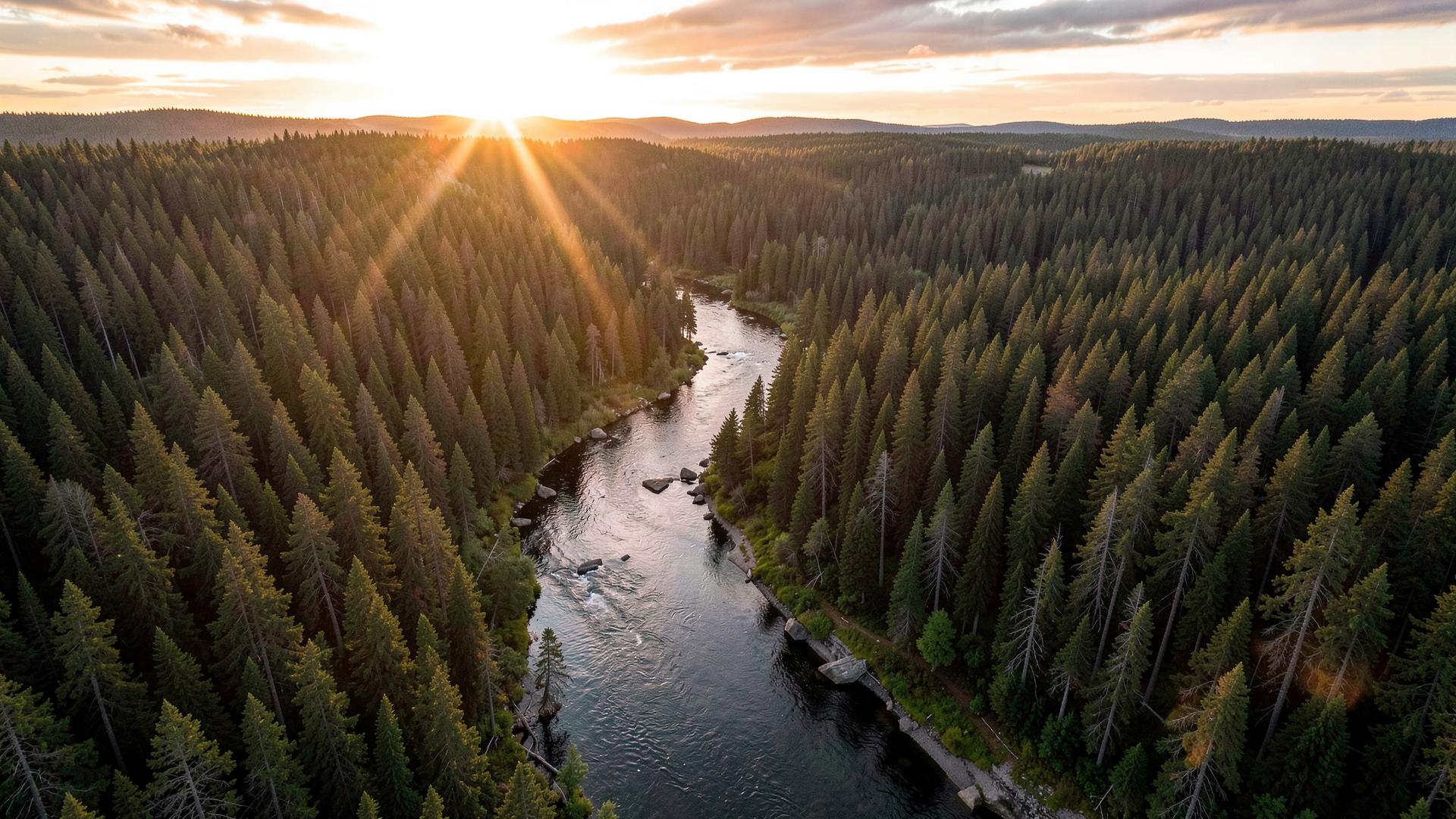
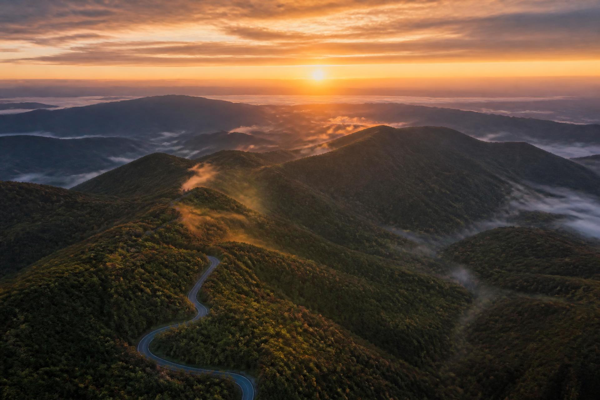
Sky Hound flies thermal and high-resolution aerial searches to recover what is lost — and captures imagery that makes land, property and moments unforgettable.
Two disciplines, one steady hand
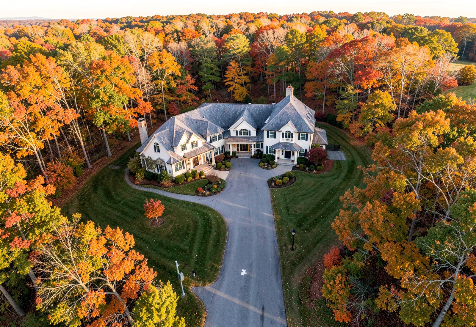
Whether the mission is finding something lost in heavy cover or framing a property at golden hour, the same discipline applies: plan the flight, work the grid, deliver something usable.
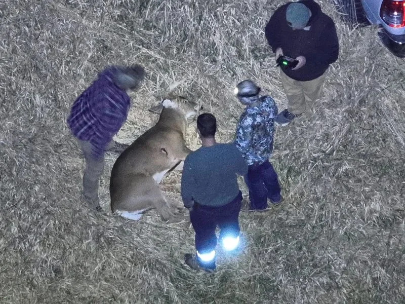
A hunting dog’s nose.
An aviator’s discipline.
Sky Hound was founded by outdoorsmen who spent too many nights walking creek bottoms with flashlights. We combined that field knowledge with certified drone operations — thermal payloads, mapped flight plans and calm decision-making under pressure.
Every mission starts with terrain, weather and airspace. Every mission ends with coordinates, imagery and a straight answer.
Six steps from call to recovery
Receive Request
Call or submit a flight request. We gather location, timeline and terrain details in minutes.
Assess the Situation
We review maps, weather, airspace and last-known-point data before wheels up.
Deploy the Drone
Rapid mobilization with thermal and high-resolution payloads matched to the mission.
Search the Area
Structured grid and contour flight patterns cover ground crews cannot reach.
Locate and Confirm
Targets are marked with GPS coordinates and confirmed with a low-altitude pass.
Report and Recover
Coordinates, imagery and a written flight report are handed off for recovery.
Built for the terrain you gave up on
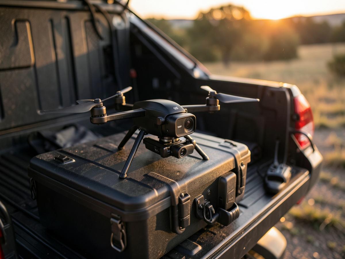
Fast Deployment
On call around the clock with pre-planned launch points across the region — most emergency flights are airborne inside 90 minutes.
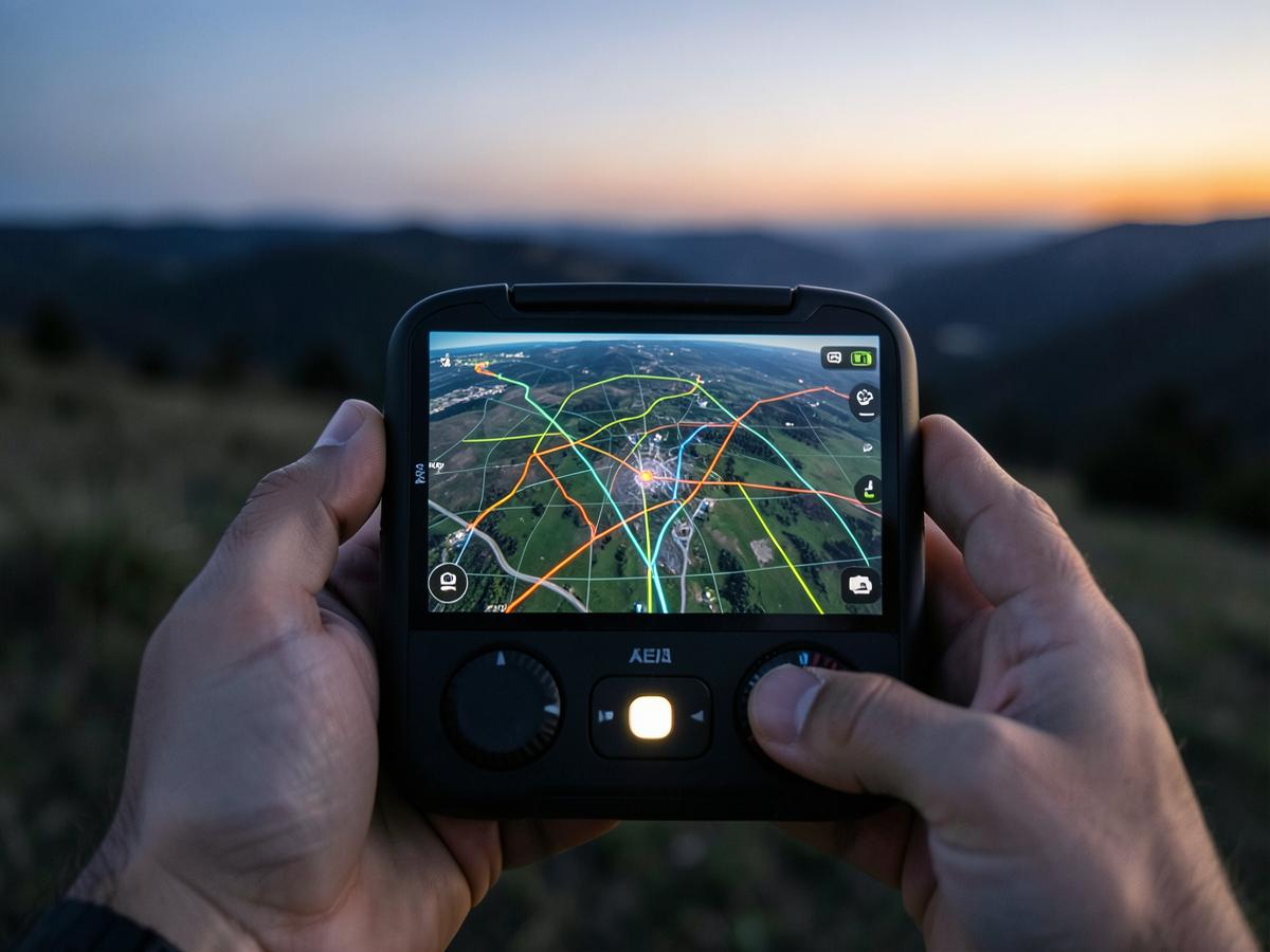
Thermal Advantage
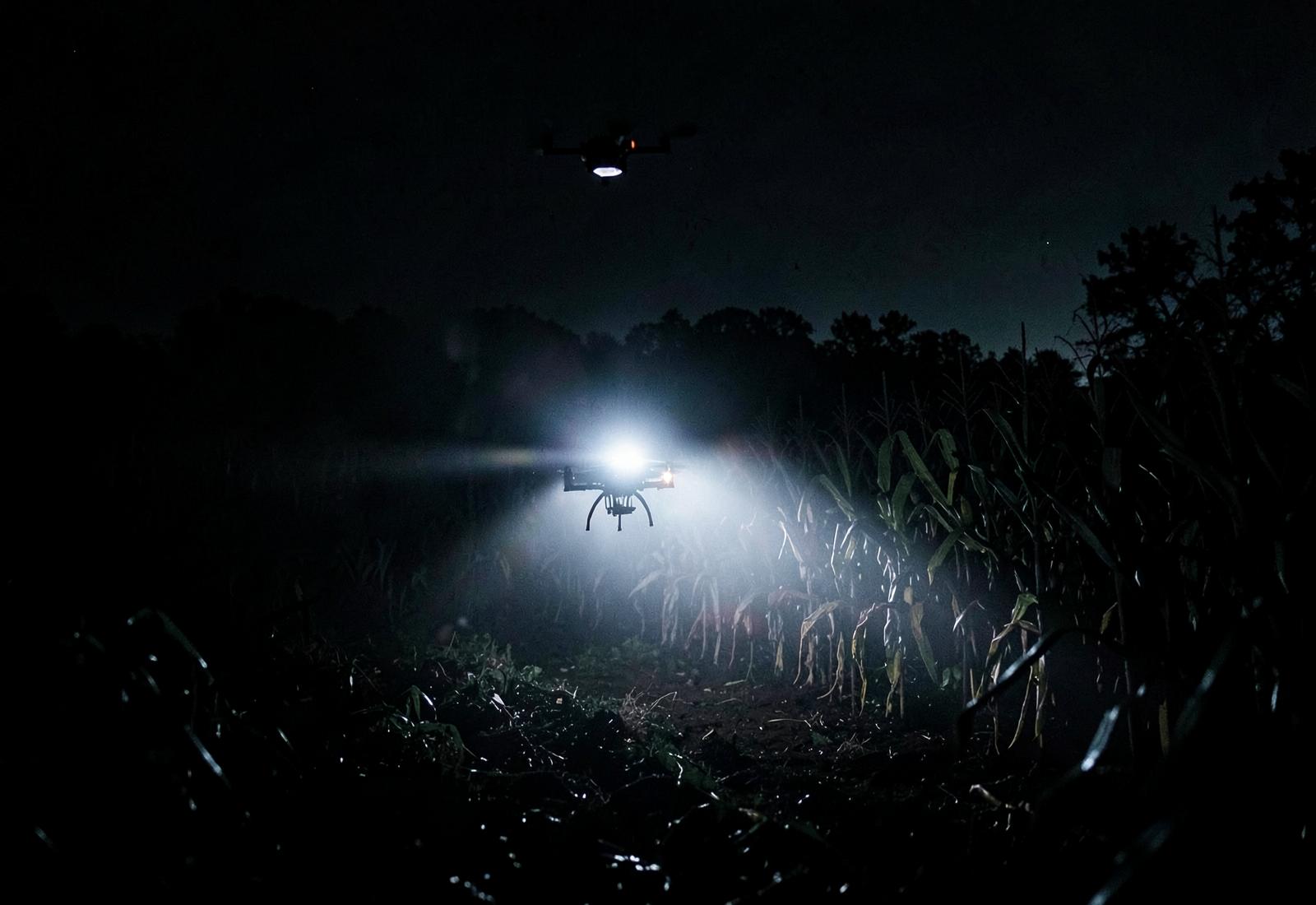
Radiometric thermal separates body heat from terrain, turning a hopeless night search into a workable grid.
Certified & Insured
Part 107 pilots, commercial liability coverage, and documented flight logs suitable for incident reporting.
What clients say after the flight
“We tracked a buck into standing corn after dark and gave up around midnight. Sky Hound had thermal on it in twenty minutes and walked us right to it. Worth every dollar.”
“They integrated with our command post without friction, flew a disciplined grid, and produced coordinates and imagery we could act on immediately. A genuine force multiplier.”
“The aerial set they delivered for a 42-acre listing sold the property before the open house. Clean, warm, editorial photography — not the flat drone shots everyone else sends.”