When Every Minute Counts, We're Already in the Air.
Thermal and high-resolution aerial search across terrain that is slow, unsafe or impossible to cover on foot.
Missions we fly every week
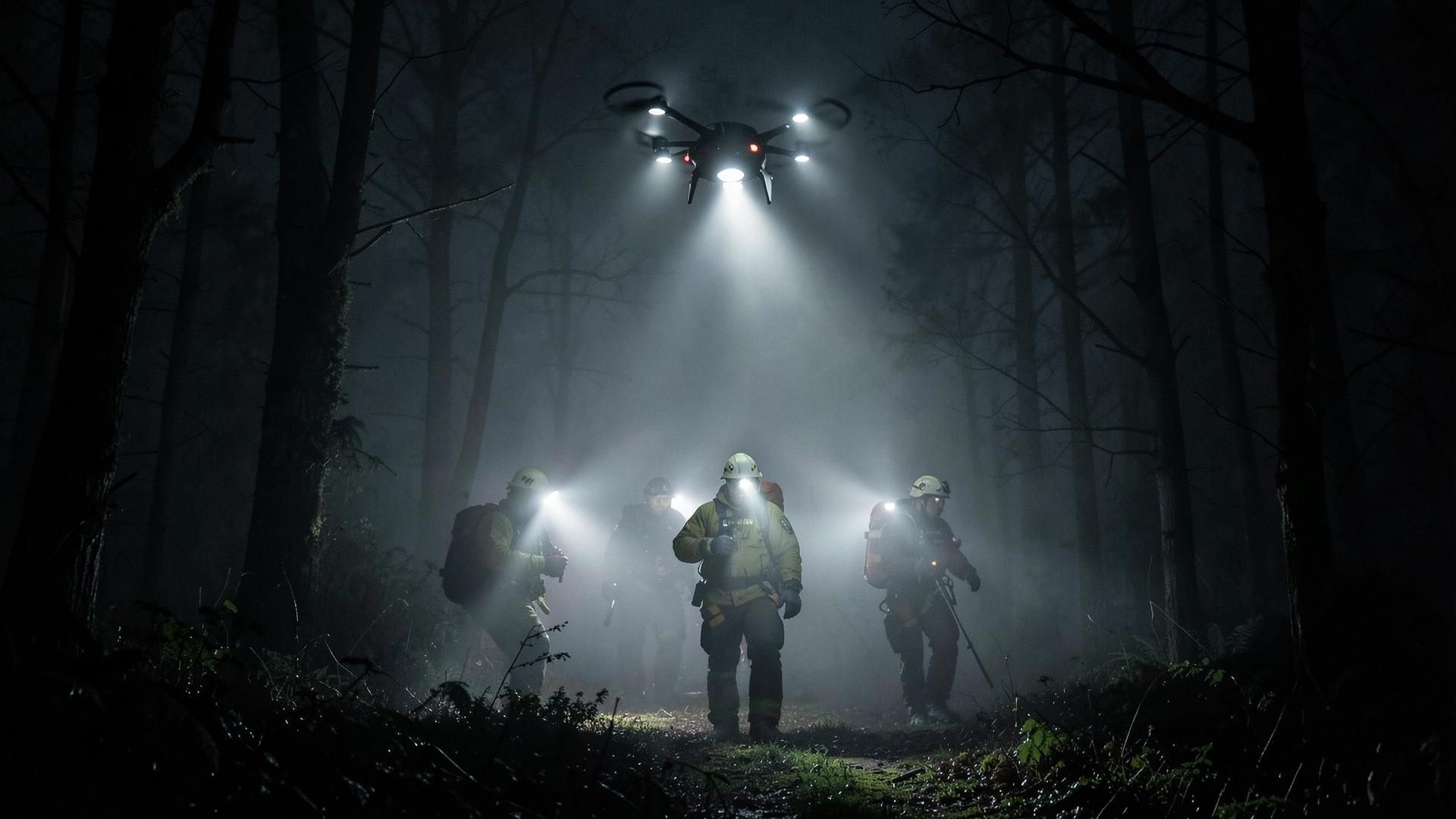
From life-critical searches alongside sheriff and fire teams to recovering a lost retriever in a creek bottom, our crews fly disciplined patterns and hand off actionable coordinates.
- Missing Person Search
- Lost Pet Recovery
- Vehicle & Object Recovery
- GPS-Guided Area Search
- Thermal Imaging Search
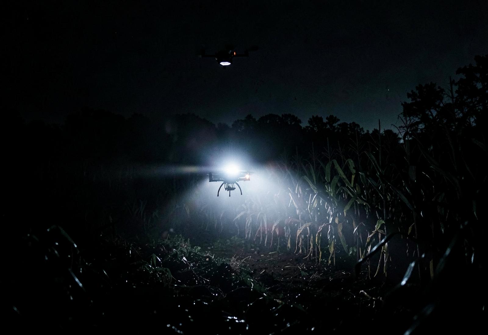
- Night Operations
Six steps from call to recovery
Receive Request
Call or submit a flight request. We gather location, timeline and terrain details in minutes.
Assess the Situation
We review maps, weather, airspace and last-known-point data before wheels up.
Deploy the Drone
Rapid mobilization with thermal and high-resolution payloads matched to the mission.
Search the Area
Structured grid and contour flight patterns cover ground crews cannot reach.
Locate and Confirm
Targets are marked with GPS coordinates and confirmed with a low-altitude pass.
Report and Recover
Coordinates, imagery and a written flight report are handed off for recovery.
Equipment matched to the mission
Payloads are selected per deployment — thermal for living targets and after dark, high-resolution optical for objects, vehicles and documentation.
- Thermal payload
- 640×512 radiometric sensor with 4× digital zoom
- Visual payload
- 48MP stills, 4K/60 video with 3-axis stabilization
- Coverage per flight
- 40–70 acres per battery in a structured grid
- Endurance
- 35–40 minutes per pack, six packs per deployment
- Positioning
- RTK-assisted GPS, sub-meter target coordinates
- Response
- Airborne within 60–90 minutes in core coverage
Search & recovery FAQ
Can you search at night?
Yes. Night flights are conducted under FAA waiver with anti-collision lighting and thermal payloads, which are often more effective after dark.
What do you need from me before launch?
A last known point, timeline, terrain description and property access. We handle airspace checks and weather.
What do I receive afterward?
GPS coordinates, annotated imagery and a written flight report suitable for incident documentation.