Aerial Photography & Imagery
The World Looks Different from Above.
Warm, editorial aerial photography and cinematic video for property, commercial and wild-country clients.
What We Shoot
Imagery that sells the place
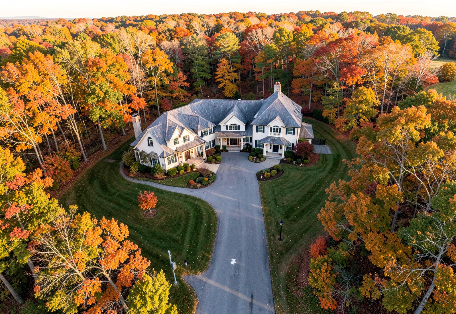
Not flat drone snapshots — composed, graded frames that carry the light and terrain of the property, built for marketing, reporting and storytelling.
- Real Estate Aerial Photography
- Construction Progress Documentation
- Event Aerial Coverage
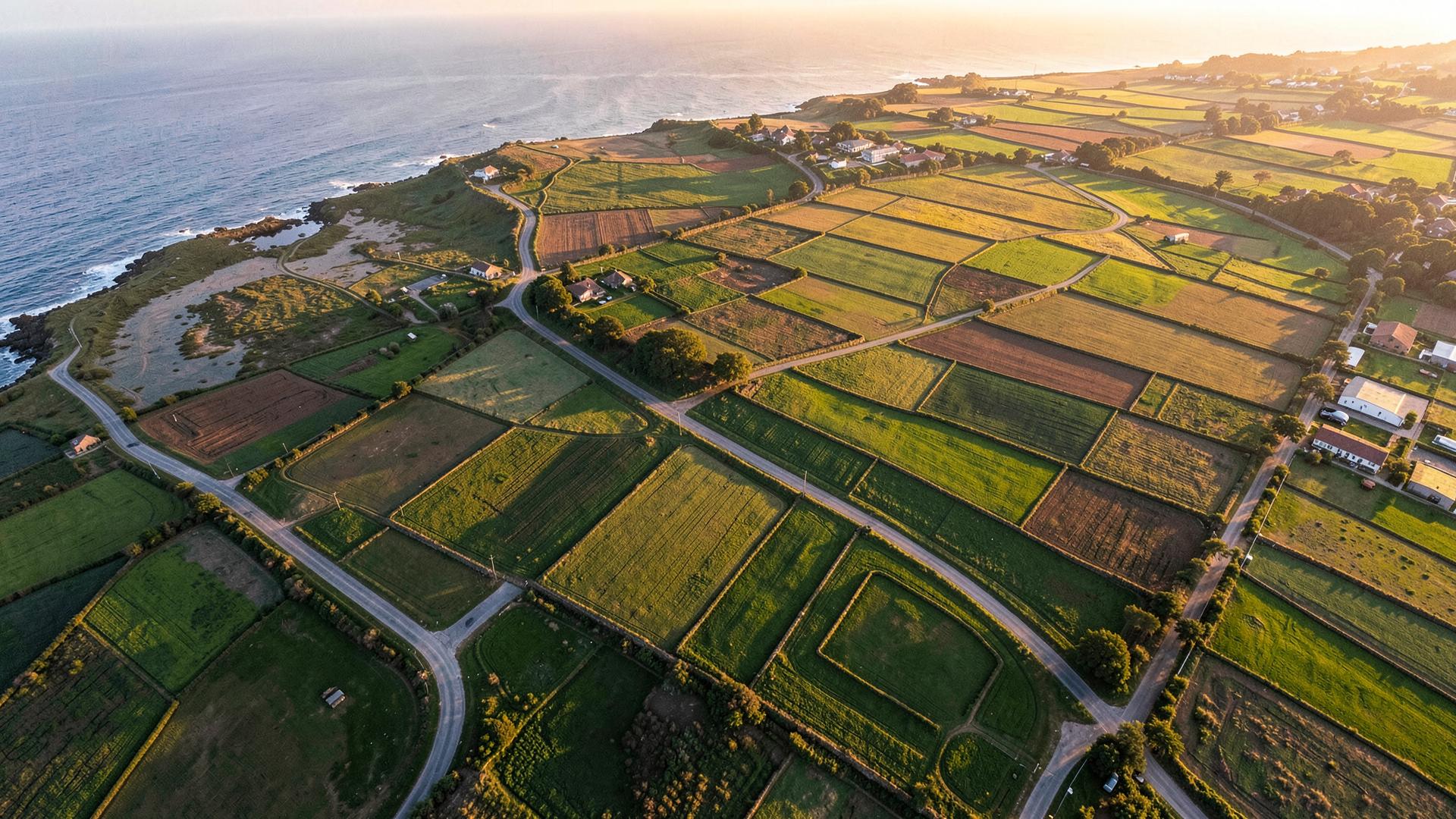
- Agricultural & Land Survey Imaging
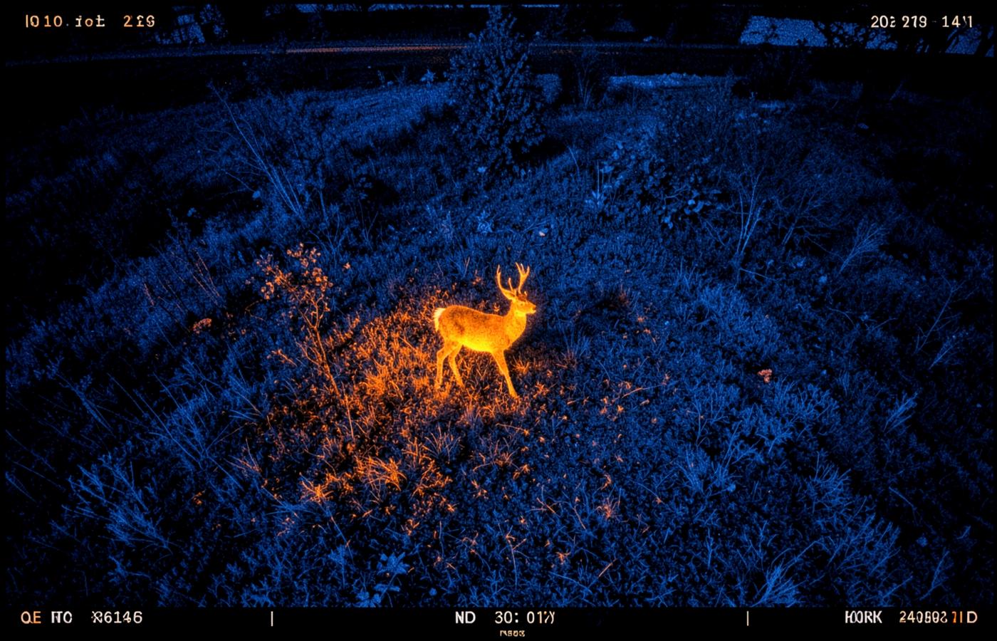
- Wildlife & Nature Photography
- Videography & Editing
Portfolio
Recent frames
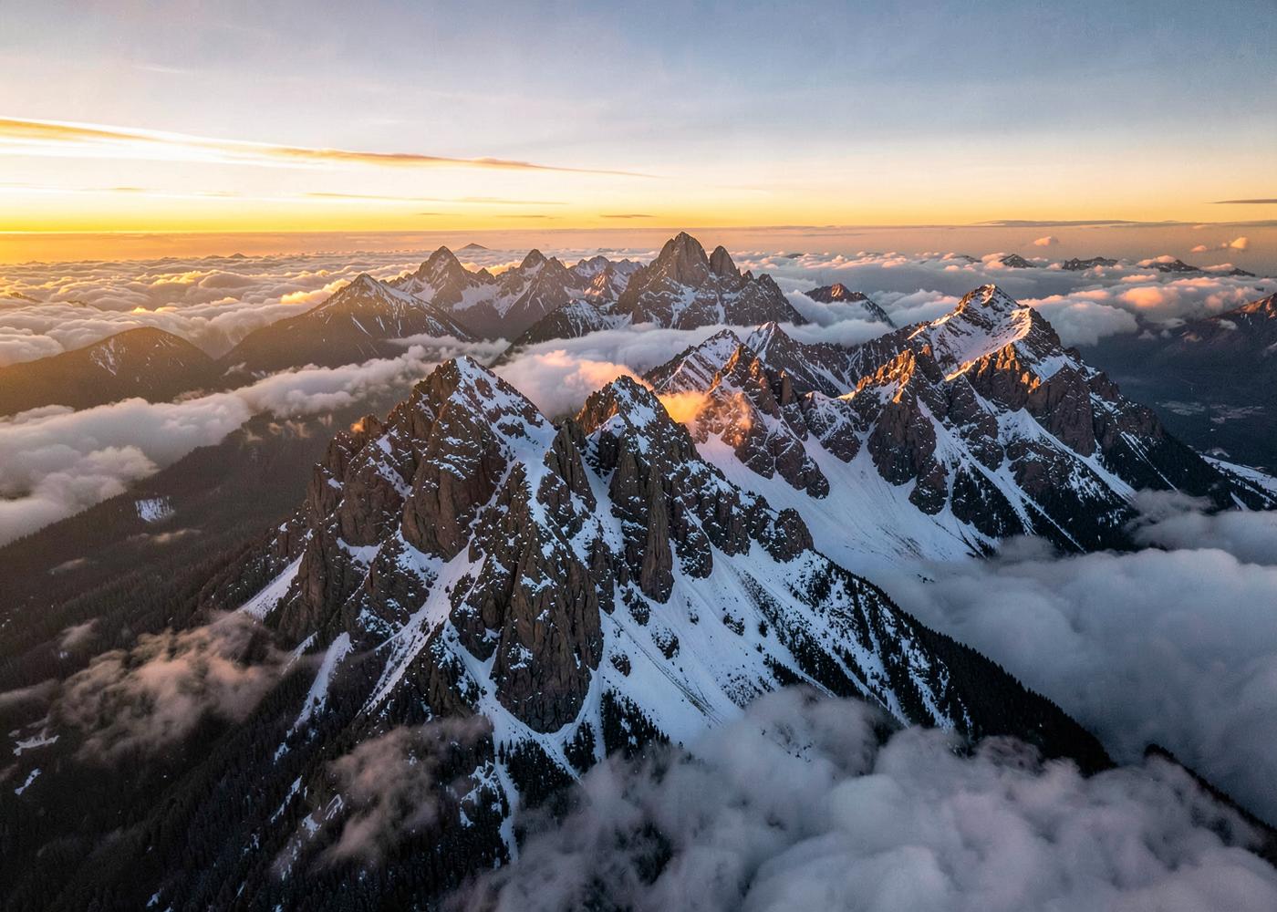
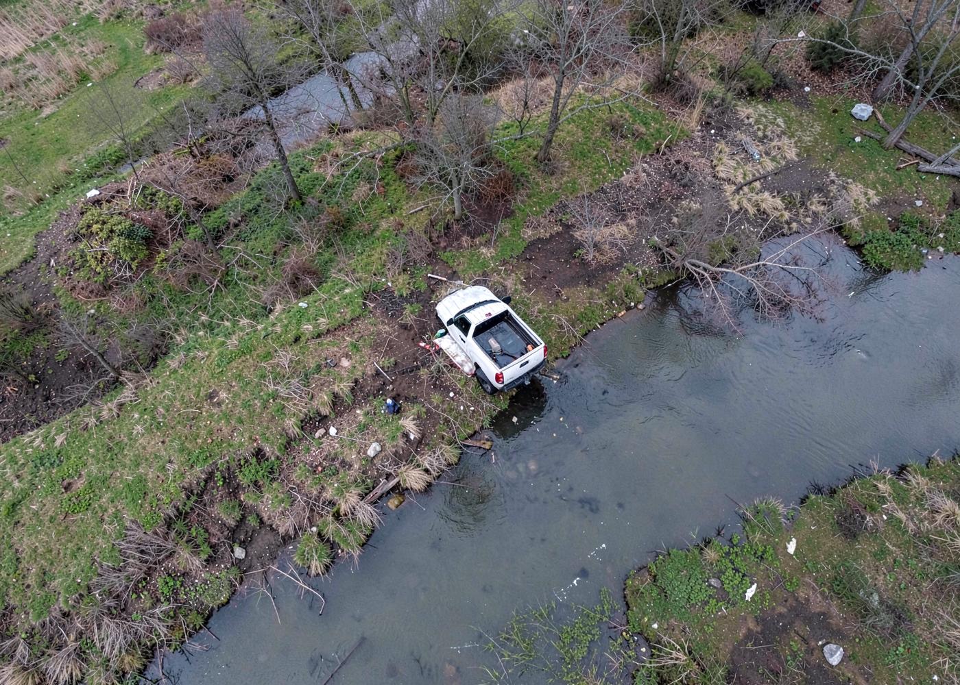
Capabilities
Specs and deliverables
- Stills
- 48MP RAW + JPEG, HDR bracketing, color-graded delivery
- Video
- 4K/60 and 5.1K, 10-bit log profiles, 3-axis stabilization
- Panoramas
- 360° spherical and 180° landscape stitching
- Turnaround
- 48 hours for stills, 5 business days for edited video
- Delivery
- Gallery link, print-ready files, MLS-sized exports
- Licensing
- Full commercial usage rights included
Questions
Aerial imagery FAQ
How long does a property shoot take?
Most residential listings take 45–60 minutes on site. Large acreage or commercial sites take two to three hours.
Can you shoot in controlled airspace?
Yes. We hold Part 107 certification and file LAANC authorizations for controlled airspace ahead of the shoot.
Do you provide edited video?
Yes — color-graded cut with licensed music, delivered in landscape and vertical social formats.