Missions we fly
Two core services, each with the same standard: a planned flight, a disciplined pattern, and deliverables you can actually use.
Drone Search & Recovery
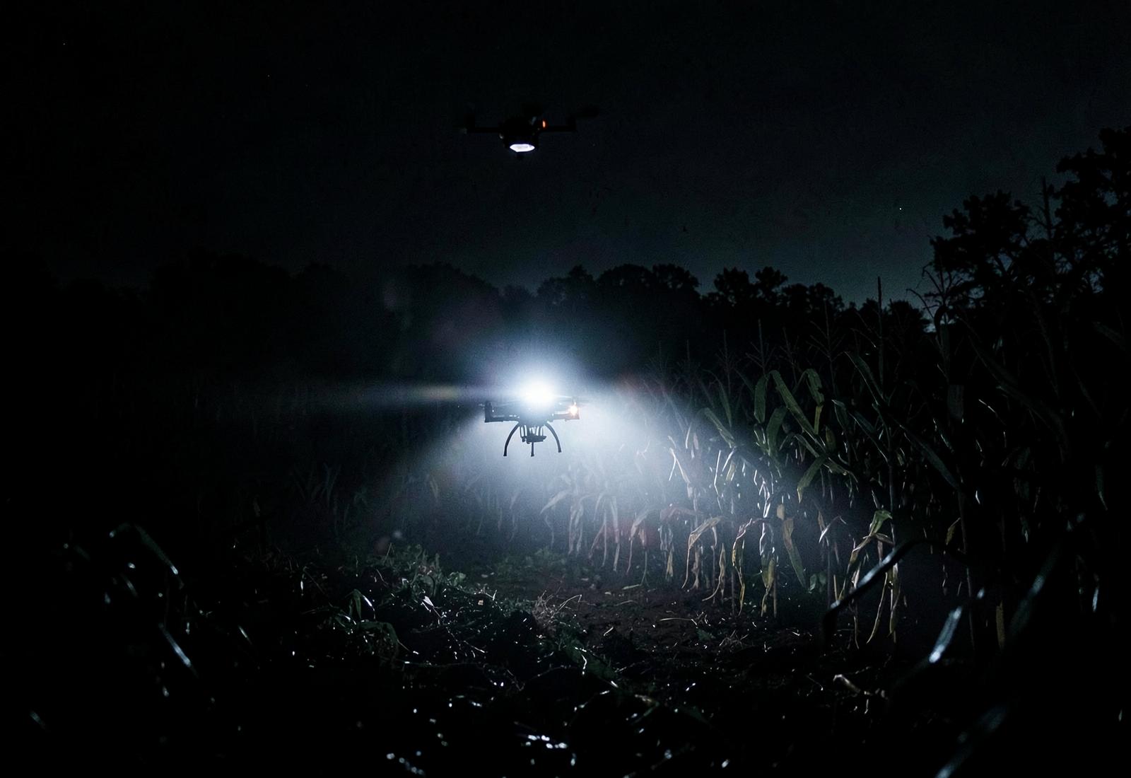
When ground crews run out of light, cover or time, we take the search vertical. Radiometric thermal separates heat from terrain; high-resolution optics confirm the target before anyone walks in.
- Missing person support for agencies and families
- Lost pet searches in timber, culverts and field edges
- Downed game recovery after dark
- Vehicle, equipment and drone recovery
Aerial Photography & Imagery
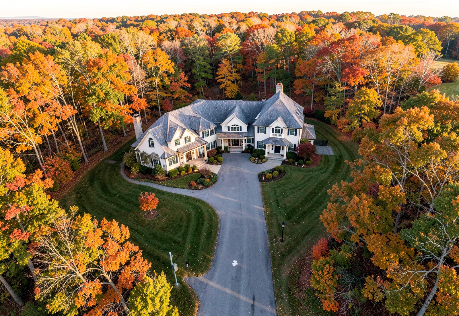
Warm, editorial aerial work — not flat top-downs. We shoot for the story the land tells: approach, boundary, light, scale.
- Real estate and land marketing sets
- Construction progress documentation
- Event and festival coverage
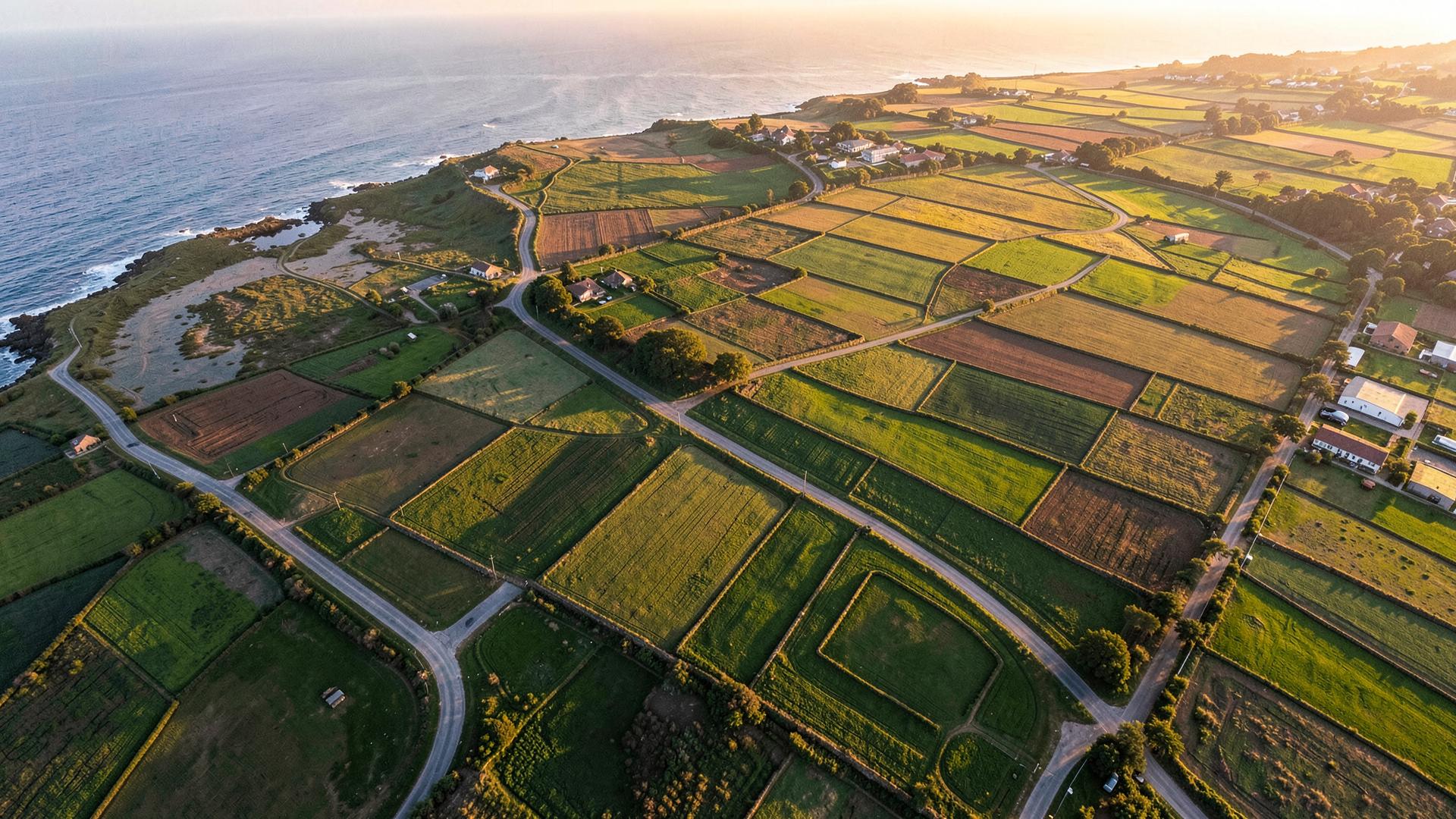
- Agricultural survey and crop assessment
The same six steps, every flight
Receive Request
Call or submit a flight request. We gather location, timeline and terrain details in minutes.
Assess the Situation
We review maps, weather, airspace and last-known-point data before wheels up.
Deploy the Drone
Rapid mobilization with thermal and high-resolution payloads matched to the mission.
Search the Area
Structured grid and contour flight patterns cover ground crews cannot reach.
Locate and Confirm
Targets are marked with GPS coordinates and confirmed with a low-altitude pass.
Report and Recover
Coordinates, imagery and a written flight report are handed off for recovery.